Our Area
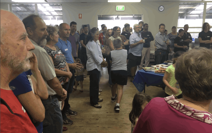
Community
Community Profile
The Carwoola community is made up of around 3000 people.
Captains Flat Road is the one main artery through the area with high through traffic from neighbouring communities.
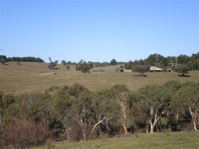
Most live in rural residential areas with blocks typically ranging from 5-40 acres with some larger blocks.
There are a number of larger grazing properties such as Carwoola, Woolcara, Banjo & Taliesin.
Unlike our neighbouring communities of Bungendore, Hoskinstown and Captains Flat, there is no village centre.
Our community assets are the Community Hall, our Fire Station and a few community reserves.
The Land
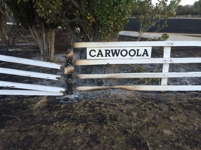
Is Carwoola fire vulnerable?
Absolutely. Like so much of rural Australia, parts of the Carwoola area have been burnt out several times in the last century, most recently in 2017 and 1985.
Vegetation Our area is a mix of very flammable tea-tree scrub (Kunzea Ericoides), various types of eucalypt forests and grazing grassland all of which will burn readily under even average conditions.
Terrain Carwoola ranges from steep hilly areas, the Molonglo River corridor and the flat Hoskinstown Plain.
Structures
Homes & Business
We have around 500 homes and a few small commercial businesses in the area.
Most rural residential areas have only one way in & out which presents a significant fire evacuation risk.
Some homes & business may store large quantities of chemicals or other hazardous materials that may pose a hazard to fire fighting crews.
If this is you, we ask you let us know as they may need to be taken into consideration if we attend a fire nearby. This way, we can draw up a response plan and advise our Fire Control Centre in Queanbeyan if we would need the support of crews with special equipment.